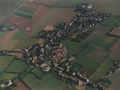
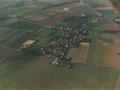
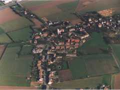
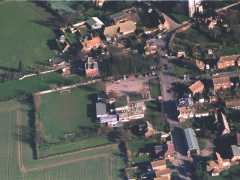
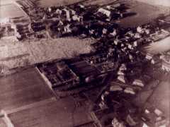
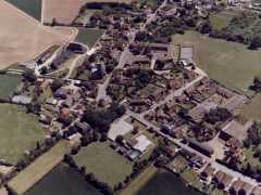
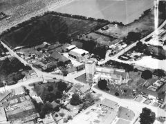
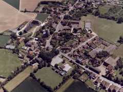
Aerial views of St Nicholas at Wade
Pages in the ‘Photos’ section contain low-resolution (mainly historical) images of St Nicholas-at-Wade with Sarre, kept small to minimize download / display times. The notes in some pictures were there when I originally got them. Iain Knight has also uploaded many old postcards of St Nicholas, Sarre, Monkton and more. For old photographs of Ramsgate or other parts of Thanet, try Thanet Online or The Birchington Roundabout (archive link).
Most of the pictures below can be clicked to enlarge them.
To buy high-quality prints of views like those below, visit GetMapping.com.
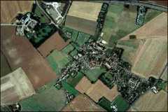
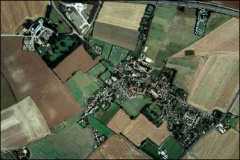
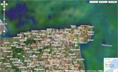
Google Maps and Bing both offer zoomable satellite views, with superimposed maps etc., but currently neither offers a genuine '3D' aerial view covering the village.
The Cambridge Air Photos project has many aerial views around the village showing ancient cropmarks and the outlines of WW2 installations. The two shown below are from shortly after the war:earlier aerial shots can be seen on the St Nicholas-at-Wade in WW2 page. More recent aerial photographs can be seen on Historic England.


