
At present, these pages are simply a mass of low resolution pictures ... I've tried to keep each page as small as possible to minimize download / display times. Some of the pictures have notes with them — these were there when I originally obtained the scanned images. Some day if I have time (wish!) I might try to put up some more background information etc., but for the time being this is all I have to hand: I hope you find it of interest. Iain Knight has also uploaded images of many old postcards, of St Nicholas, Sarre, Monkton and more. If you are interested in old photographs of other areas of Thanet (particularly Ramsgate), try Thanet Online or The Birchington Roundabout (archive link).
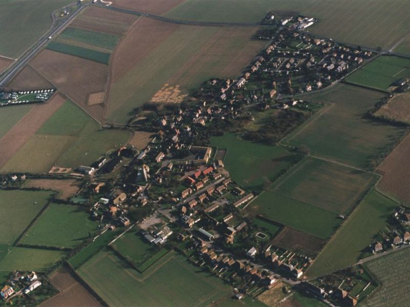
If you would like to purchase a high-quality print of a view like the one below, visit GetMapping.com.
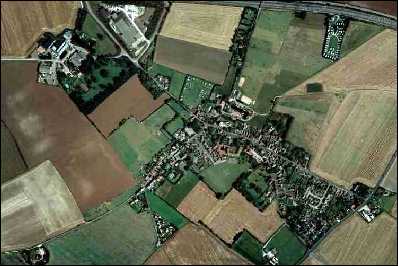
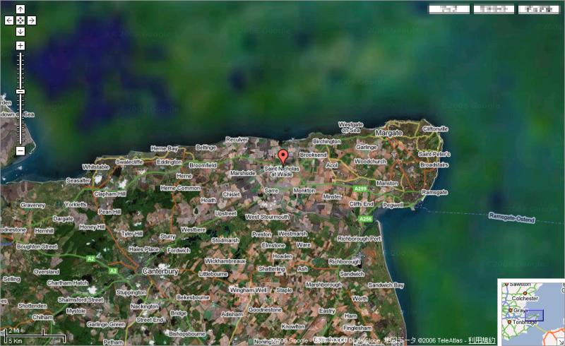
Google Maps and Windows Live both offer satellite views similar to the one above but generally on a larger scale — you can zoom out to see e.g. the whole of Kent or the UK. You can also superimpose a map on the aerial view.